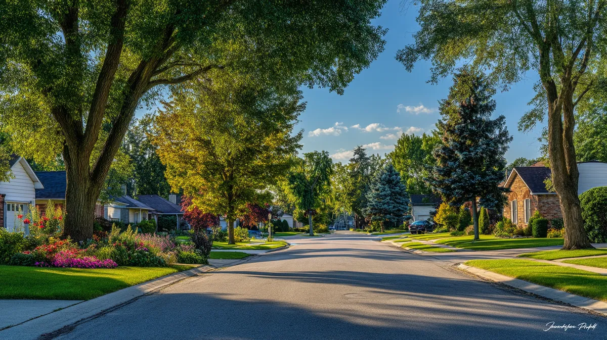
Living in Westland feels a bit like straddling two worlds: you get quick runs to Detroit’s pro-sports arenas yet still chat with neighbors on tidy cul-de-sacs. Safety usually lands near the top of any “should we move?” checklist, especially when you’re scrolling through homes for sale in Westland after dinner.
Below you’ll find straight-talk details, no marketing gloss, on crime rates, local policing, and how everything stacks up against the national average.
Overview of Westland
Introduction to Living in Westland, MI
Ask ten Westland residents to describe daily life, and you’ll hear mentions of backyard barbecues, the Ford Road strip, and a cost-of-living score that hovers below many other MI suburbs.
Talk long enough and the conversation shifts to whether crime in Westland is climbing or calming.
Geographical Location
Westland sits in western Wayne County, wedged between Livonia and Canton. Its grid of surface streets feeds commuters toward I-275 while the Middle Rouge River loops past parks and soccer fields.
Those major corridors nudge up the number of crimes near big parking lots, something to keep in mind when you study a crime map for apartment hunting.
Cost of Living in Westland
A recent market snapshot shows the city’s cost-of-living index at 94, a full six points under the US baseline, with housing providing the biggest break. That lower mortgage can offset a slightly higher crime risk when you compare Westland against some leafy exurbs.
Westland, MI Crime Breakdown
Property Crime
NeighborhoodScout pegs the property crime rate at roughly 17 per 1,000 residents, translating to a one-in-60 chance of becoming a victim of burglary, larceny, motor-vehicle theft, or arson in a typical year.
CrimeGrade narrows in at 17.65 per 1,000, noting that theft and catalytic-converter grabs lead the category.
Those figures are a hair above the Michigan state average but still below the national property benchmark of about 21.
Violent Crime
Violent offenses—murder, rape, robbery, aggravated assault—show up less often yet matter more to peace of mind. NeighborhoodScout lists a violent crime rate in Westland of 5.3 per 1,000 (one in 187 odds).
CrimeGrade clocks a similar 4.8 per 1,000.
Both analysts flag the southeast retail corridor as a hotspot, while the southwest scores green on the Westland crime map.
Other Crime
Identity theft, vandalism, narcotics, and related calls add another nine incidents per 1,000, pushing total crime to about 31.4 per 1,000.
That “other” column rarely grabs headlines, yet influences insurance premiums and the cost of crime in Westland for homeowners.
Trends in Crime Rates in Westland
FBI nationwide stats showed a three-percent drop in violent incidents during 2023, and local police data hints Westland followed suit—assaults have eased since late 2021, while vehicle theft spiked in 2022 then tapered.
The crime rates and maps suggest progress, but improvements aren’t uniform citywide.
Comparing Crime Rates: Westland vs. Nearby Cities
Comparison of Westland Crime Rates with Michigan
Michigan posts 4.6 violent crimes and 15.5 property crimes per 1,000 residents.
Westland edges past both categories, confirming that crime rates are measured per resident and show the city sitting a notch above the average US city in violence, yet near par on property losses.
Compare Westland Crime Rate with Nearby Neighborhoods
Livonia shows 1 in 370 odds for violent incidents and a 15 per 1,000 property tally—safer across the board.
Canton looks calmer still at 1 in 465 violent odds.
Inkster, right next door, records 1 in 95 violent odds and 22 per 1,000 property crimes, proving that crime in Westland varies by neighborhood and falls in the middle of the local pack.
Safety Measures and Resources
Chance of Being a Victim of Crime in Westland
Crunch every call report together, and residents face about a one-in-32 chance of becoming a victim during a typical year.
Crime maps and rates paint those odds brighter in the southwest, green zones mark the safest areas in Westland, and red along Ford Road, where parking lots boost crime per capita in Westland.
Role of the Westland Police Department
The Westland Police Department publishes real-time maps and statistics, hosts catalytic-converter etching clinics, and shares use-of-force audits online so residents can understand crime trends instead of relying on rumors.
Transparency wins trust and, over time, nudges down the rate of crime in Westland.
Community Safety Initiatives
Neighborhood watch groups, porch-camera registries, and quarterly town halls help residents feel connected.
Officers stress that crime-report tip lines and rapid lighting upgrades in older subdivisions cut back on “red areas” where they see the most incidents.
Living in Westland: Is it a Safe Place to Live?
So, is the city a safe place to live?
Data says Westland ranks in the murky middle—safer than some cities but less safe than others.
Families eyeing big backyards off Cherry Hill often point out that the overall crime rate sits well below Detroit while mortgage payments stay lower than the national average.
Long-timers note that Westland varies by neighborhood; choose the right pocket and life feels safe and welcoming.
Conclusion and Recommendations
Summary of Crime Statistics
Westland logs about 31 crimes per 1,000 residents, split roughly 17 property, five violent, and nine “other.”
Violent incidents land higher than the national average, property numbers hover near national norms, and trends show a gentle downward glide the past two years.
Future Outlook for Crime in Westland
If policing remains data-driven and residents keep porch lights on, analysts expect gradual gains.
Most residents in the typical year already feel safe living south of Palmer Road, and fresh retail reinvestment may shrink those red pixels on the next crime map, highlighting the safest districts.
In Conclusion
Every statistic above is a tool, not a verdict. Walk the blocks you love, chat with neighbors, pull up a Westland crime breakdown on your phone, and figure out if those bargain mortgages line up with your comfort level.
Whether you settle into a 1960s ranch or a modern townhouse, safety, just like style, comes down to the fit you feel once you’re standing on the front porch.
Westland Safety FAQs
How do Westland’s violent numbers compare to national figures?
The violent crime rate in Westland sits near 5 per 1,000 residents, while the national mean hovers just under 4. That leaves locals with roughly a chance of being a victim of violent crime is 1 in 187, compared with 1 in 272 nationwide.
Where does the crime map show the worst trouble spots?
Look east of Wayne Road and north of Ford Road. The map highlights the safest areas in soft green and paints higher-risk blocks red. Those red chunks indicate retail hubs where crime rates are shown to spike, mostly from vehicle break-ins rather than assaults.
What’s the police strategy for cutting the number of crimes?
Officers deploy heat-map patrols, partner with HOAs on security-camera registries, and publish detailed crime rates online. That blend of visibility and transparency helps residents compare crime patterns month to month and keeps the community looped in.
Is the property crime rate rising or falling?
Vehicle theft ticked up through 2022, dipped in 2024, and early-2025 logs suggest another drop, pushing the property crime curve gradually downward. Theft and porch piracy still top the list, but totals run close to the national average.
Which neighborhoods are considered the safest?
Locals almost always point to the southwest quadrant near Venoy and Glenwood. Westland residents generally consider the southwest part of town calm, with low crime volumes and quick response times that compare favorably when you compare Westland with nearby cities.